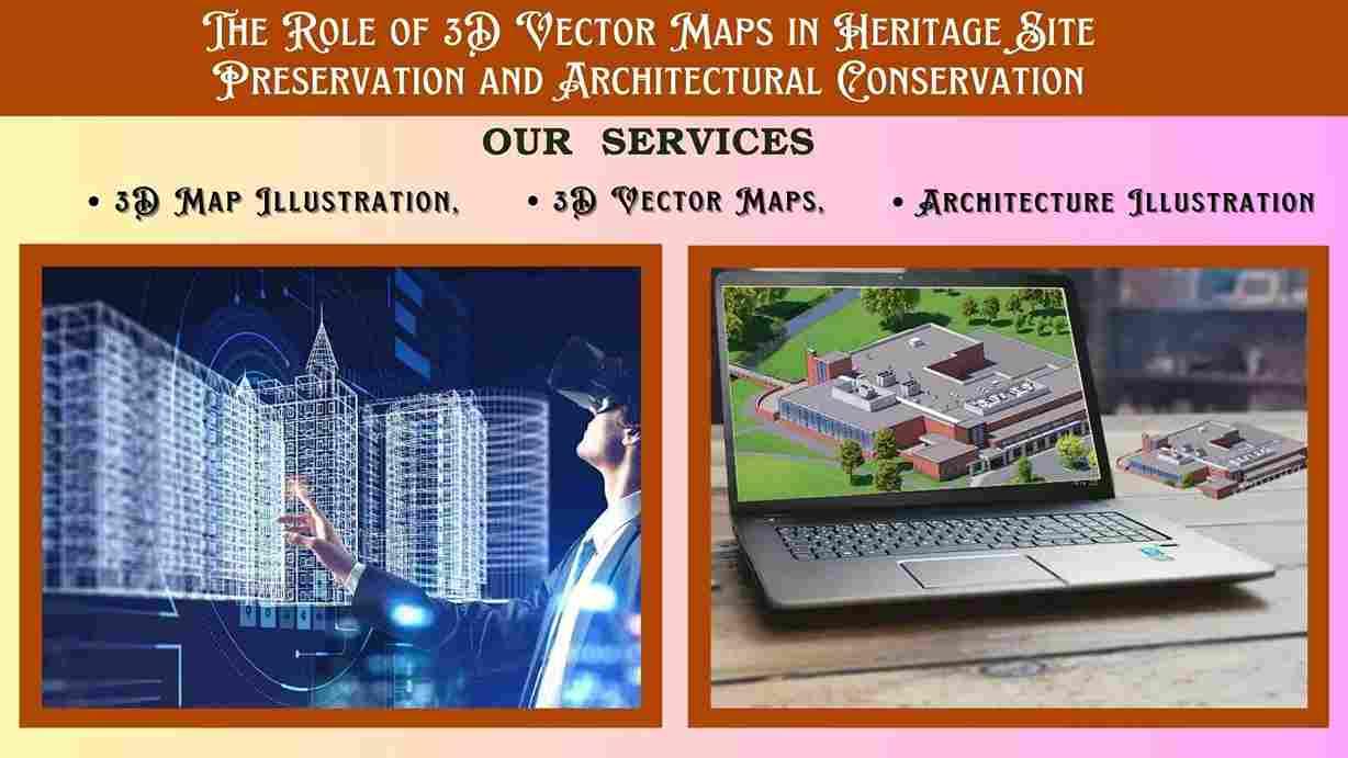
The Role of 3D Vector Maps in Heritage Site Preservation and Architectural Conservation
Guardians of History: The Role of 3D Vector Maps in Heritage Site Preservation and Architectural Conservation
In an increasingly digitized world, the invaluable treasures of our past – ancient ruins, historic buildings, and archaeological sites – face a myriad of threats. The traditional methods of documenting and preserving these heritage sites, relying on fragmented paper records, static photographs, and manual surveys, often fall short in capturing their intricate details and complex relationships within their environment. This is where the transformative power of 3D Vector Maps emerges as an indispensable tool, revolutionizing heritage site preservation and architectural conservation.
By transforming physical spaces into precise, data-rich digital models, 3D Vector Maps provide an unprecedented level of detail, analytical capability, and communicative power, ensuring that our shared history is meticulously documented, safeguarded, and vividly presented for future generations. The integration of advanced 3D Map Illustration and nuanced Architecture Illustration within these digital environments creates a dynamic platform for both scientific study and public engagement.
The Precision Foundation: 3D Vector Maps as Digital Archives
At their core, 3D Vector Maps offer a level of precision and scalability unmatched by other mapping technologies. Unlike raster images (which pixelate when magnified), vector data is based on mathematical descriptions of points, lines, and polygons. This makes them ideal for creating highly detailed and infinitely scalable digital archives of heritage sites.
-
Dimensional Accuracy: LiDAR scanning, photogrammetry, and drone surveys are used to capture millions of data points, which are then processed to create incredibly accurate 3D Vector Maps.
-
Change Detection: By conducting repeat scans and comparing them within the 3D Vector Maps, conservators can accurately detect minute changes in a structure over time – identifying areas of erosion, subsidence, or deterioration.
-
Detailed Asset Management: Each architectural element (e.g., a specific column, a fresco, a section of wall) can be identified, categorized, and tagged with metadata within the 3D Vector Maps.
-
Non-Invasive Documentation: 3D Vector Maps are created through remote sensing, minimizing physical contact with delicate historic surfaces, ensuring the preservation of the original fabric of the structure.
-
Universal Accessibility: Once created, these digital 3D Vector Maps can be accessed and analyzed by researchers, conservators, and planners worldwide, fostering collaborative efforts in heritage preservation.
Architecture Illustration for Conservation
While 3D Vector Maps provide the precise framework, it's the artistry of Architecture Illustration that transforms raw data into compelling and insightful visuals for conservation and public understanding.
-
Reconstruction Visualizations: Based on archaeological evidence and historical data, Architecture Illustration can be used to create informed reconstructions of dilapidated or lost structures within the 3D Vector Maps.
-
Condition Mapping: Through skilled Architecture Illustration, areas of decay, previous restorations, or specific material conditions can be highlighted and color-coded directly onto the 3D model, providing a clear visual guide for conservation planning.
-
Material and Textural Fidelity: The application of realistic textures and materials in Architecture Illustration ensures that the digital model accurately reflects the nuanced surfaces of stone, brick, wood, or plaster, crucial for authentic representation and restoration planning.
-
Lighting and Atmosphere: Architecture Illustration techniques involve simulating historical lighting conditions or emphasizing architectural details through dramatic light and shadow, enhancing the visual impact and understanding of the original design intent within the 3D Vector Maps.
-
Virtual Restoration Scenarios: Conservators can use Architecture Illustration within the 3D environment to virtually test different restoration approaches or material choices before undertaking costly and irreversible physical work, ensuring optimal outcomes.
Engaging the World: The Power of 3D Map Illustration for Heritage
The ultimate value of integrating 3D Vector Maps and Architecture Illustration culminates in powerful 3D Map Illustration that serve diverse purposes, from academic research to global public engagement.
-
Educational Tools: For schools and universities, a 3D Map Illustration offers an unparalleled educational resource, allowing students to dissect, analyze, and learn about architectural history and conservation techniques in a dynamic 3D environment.
-
Fundraising and Advocacy: Compelling 3D Map Illustration visuals are incredibly effective for fundraising campaigns, helping organizations articulate the value of a site and the urgency of its preservation to potential donors and governmental bodies. Seeing a site in stunning detail can galvanize support.
-
Disaster Preparedness: In regions prone to natural disasters, pre-existing 3D Map Illustrations serve as invaluable baseline data. If a site is damaged, the precise 3D model can guide restoration efforts, and in the worst case, serve as a complete digital record if physical loss occurs.
-
Comparative Analysis: Researchers can overlay different historical periods or design phases within a 3D Map Illustration to conduct comparative studies, understanding the evolution of a site over centuries.
-
Accessibility for All: For individuals with physical disabilities, a virtual 3D Map Illustration offers an unhindered way to explore and appreciate heritage sites that might otherwise be inaccessible.
The Workflow: From Scan to Story
The process typically involves:
-
Data Acquisition: High-precision laser scanning (LiDAR) or photogrammetry (using drones or ground-based cameras) captures detailed point cloud data of the site.
-
3D Model Reconstruction: This point cloud data is processed and converted into a clean, accurate 3D Vector Map (a mesh model), which serves as the precise digital twin of the site.
-
Texture and Material Application: High-resolution photographic textures, often captured on-site, are applied to the 3D model to replicate the appearance of materials, erosion, and patina. This is key for realistic Architecture Illustration.
-
Rendering and Lighting: Virtual lighting is applied, simulating historical conditions or highlighting specific features, to create the final Architecture Illustration.
-
Interactive Development (Optional): The 3D model is then integrated into an interactive platform for virtual tours, annotations, or data querying, forming the final 3D Map Illustration.
Conclusion
The role of 3D Vector Maps in heritage site preservation and architectural conservation is revolutionary. By providing unparalleled accuracy, analytical depth, and dynamic communication capabilities, they transform how we document, study, and interact with our shared past. From creating precise digital archives and facilitating detailed change detection through 3D Vector Maps, to enabling informed virtual reconstructions and compelling visual narratives with exquisite Architecture Illustration, these technologies are safeguarding invaluable historical assets. Ultimately, the power of 3D Map Illustration ensures that these silent witnesses of history can continue to tell their stories, not just to a few specialists, but to a global audience, fostering a deeper appreciation and commitment to their enduring preservation for generations to come.
Categorias
Leia mais
Introduction Cricket is more than just a sport in India—it’s a way of life, an emotion that unites over a billion people. Whether it’s children playing on the streets, professionals filling stadiums, or fans glued to their screens, the love for cricket is unmatched. Over decades, Indian cricket has transformed into a powerhouse, producing legends, creating unforgettable...

The taxi sector is flourishing like never before, allowing businesses to expand, develop, and capture new market possibilities. Have you ever thought about how the cab booking software can transform your business? It helps you streamline bookings, optimize driver management, and enhance customer satisfaction. Don’t get stressed. This brief blog outlines critical factors to consider...

شركة تسويق: شريكك لتحقيق الانتشار والنجاحفي عالم الأعمال الحديث، لم يعد النجاح يعتمد فقط على جودة المنتج أو الخدمة، بل أصبح الوصول للجمهور المستهدف وتقديم الرسالة بشكل فعال من أهم عوامل التفوق. وهنا يأتي دور شركة التسويق التي تعتبر الذراع الاستراتيجي لأي نشاط تجاري يسعى للنمو والتوسع. ما هي شركة التسويق؟شركة التسويق هي جهة متخصصة في تقديم حلول تسويقية متكاملة، تبدأ من بناء...

When it comes to maintaining the pristine appearance of your vehicle, car body paint repair plays a crucial role. Over time, your car's exterior may suffer from scratches, chips, or fading paint, diminishing its overall appeal. Entrusting your car to professionals for top-notch paint repair services can bring back its original luster and protect it from further damage. The Importance of...
Negli ultimi anni, i siti di scommesse non AAMS hanno guadagnato terreno in Italia, attirando numerosi giocatori grazie a promozioni vantaggiose e a un’ampia offerta di giochi. Tuttavia, operando fuori dalla regolamentazione italiana, presentano rischi significativi. In questo articolo esploreremo i principali vantaggi e le problematiche legate a questi siti. Cosa Sono i Siti Non AAMS? I...